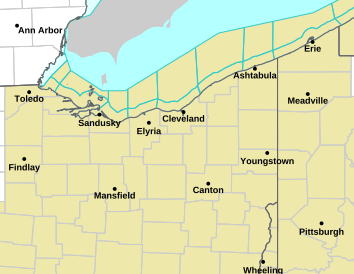
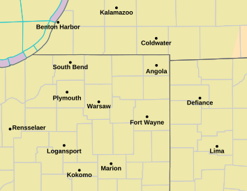
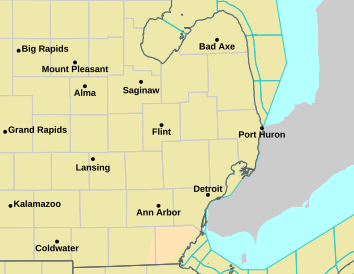
Local Radar - Det/Pon
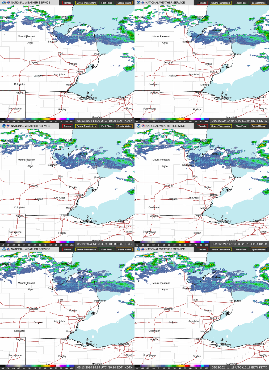
Local Radar - N. IN
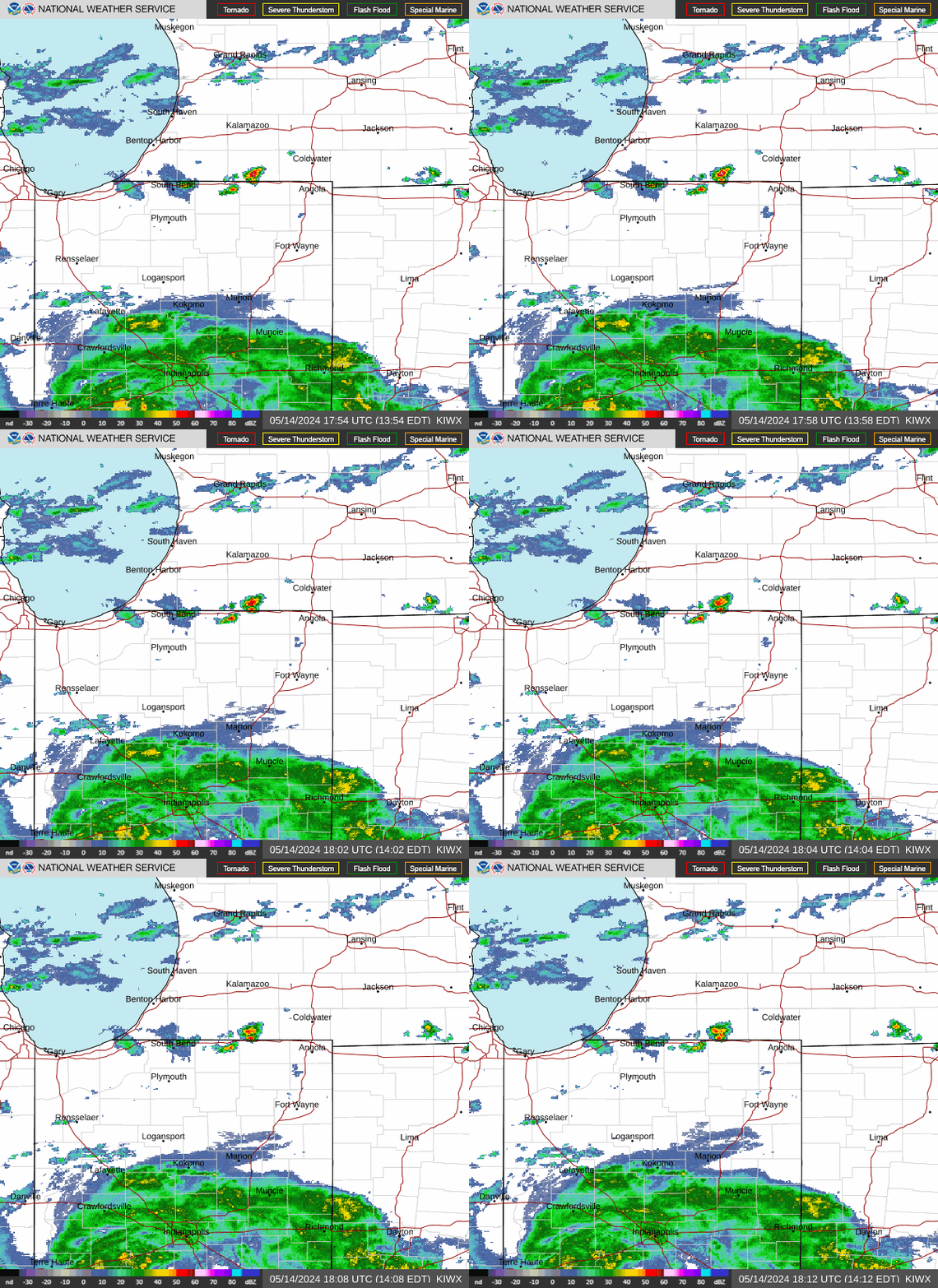
Regional Radar
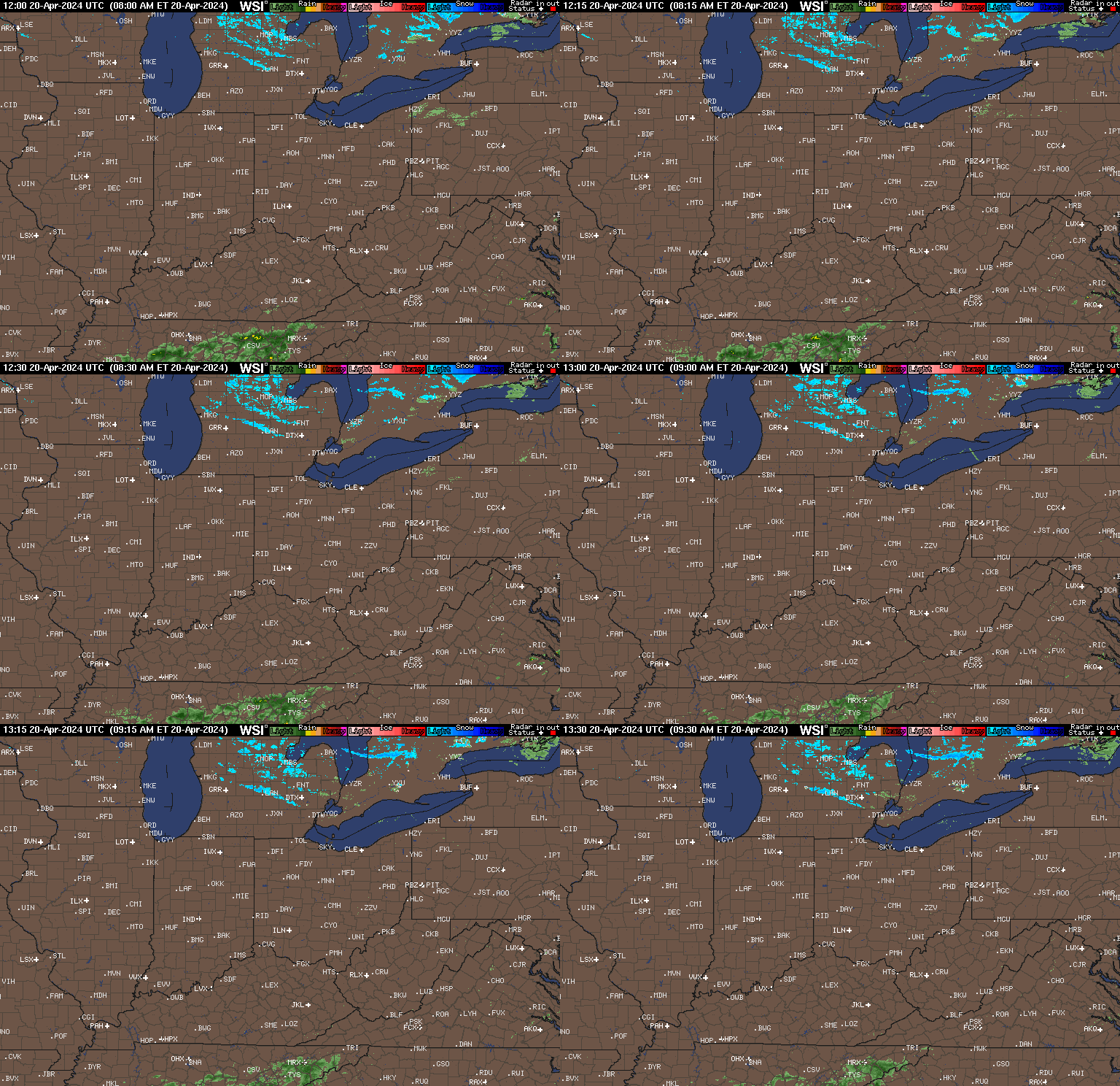
National Radar

Cloud Cover Satellite
Link to regional map - Unable to embed this image.
Air Temps
Air Temps
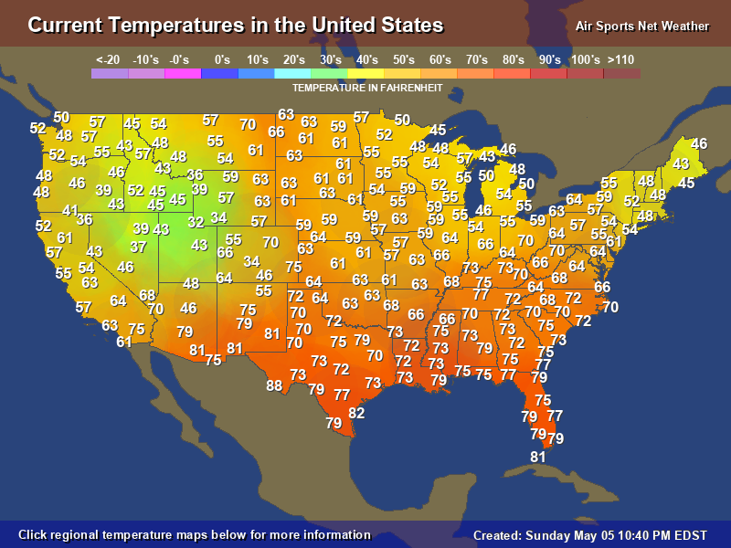
Dew Point Temps
Dew Point Temps
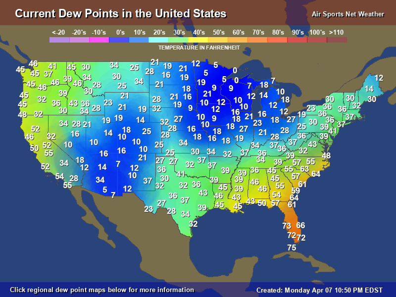
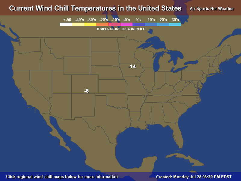
Wind Chill Temps
Wind Chill Temps
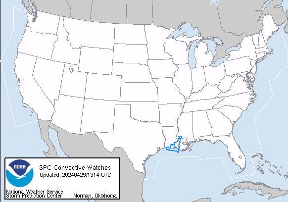
Nationwide Watch Boxes
Red = Tornado Watch
Blue = Sevevere Thunderstorm Watch
National Mesoscale Discussions
Radar Notes
Hi-Def Radar: Wunderground eliminated this excellent close, detailed radar image in Dec 2019. It could should the mayfly insect hatch that occurs in Lake Erie each summer.
Local Radar: Wunderground eliminated its good local radar image in early 2021 or around that timeframe. In the spring of 2021, I found the above animated gif image that surprisingly still existed at weather.gov, but for how long?
Regional Radar: NWS eliminated its simple, useful radar images in Dec 2020, replacing them with slow, bloated radar crap. Now using the Intellicast image, hosted at its new location. Unfortunately, this radar image can be three hours behind at times.

